
The current state of this region is linked to the regional tectonic evolution of the Iberian Peninsula.
During the Paleozoic, the main tectonic event was the Hercynian orogeny, large scale compressive event responsible for the Iberian Massif formation. This orogeny shows different phases and was active throughout most parts of the mid and late Paleozoic. Its origin is the collision between the Euroamerican and Gondwana landmasses that ended up with the formation of the Pangea supercontinent.
During the Mesozoic, the Atlantic Ocean opened and there was a global rise in the sea level. Consequently, most parts of the Iberian Peninsula drowned. This tectonic phase is distensive and generated the necessary space and conditions to deposit the Triassic, Jurassic and Cretaceous materials observed in the “Campo de Montiel” and the Altomira Mountains respectively, these rocks were deposited on top of the Iberian Massif that constituted the basement.
During the next stage, the Cenozoic, the main tectonic event is the Alpine Orogeny. This compressive event is related to the collision between the Eurasian and the African plate and generated the uplift of the Iberian System, which includes the Altomira Mountains, and the Betic Cordillera, and the reactivation of the Central System. These three reliefs are the main source of sediments infilling the Cenozoic basins that govern the South Subplateau.
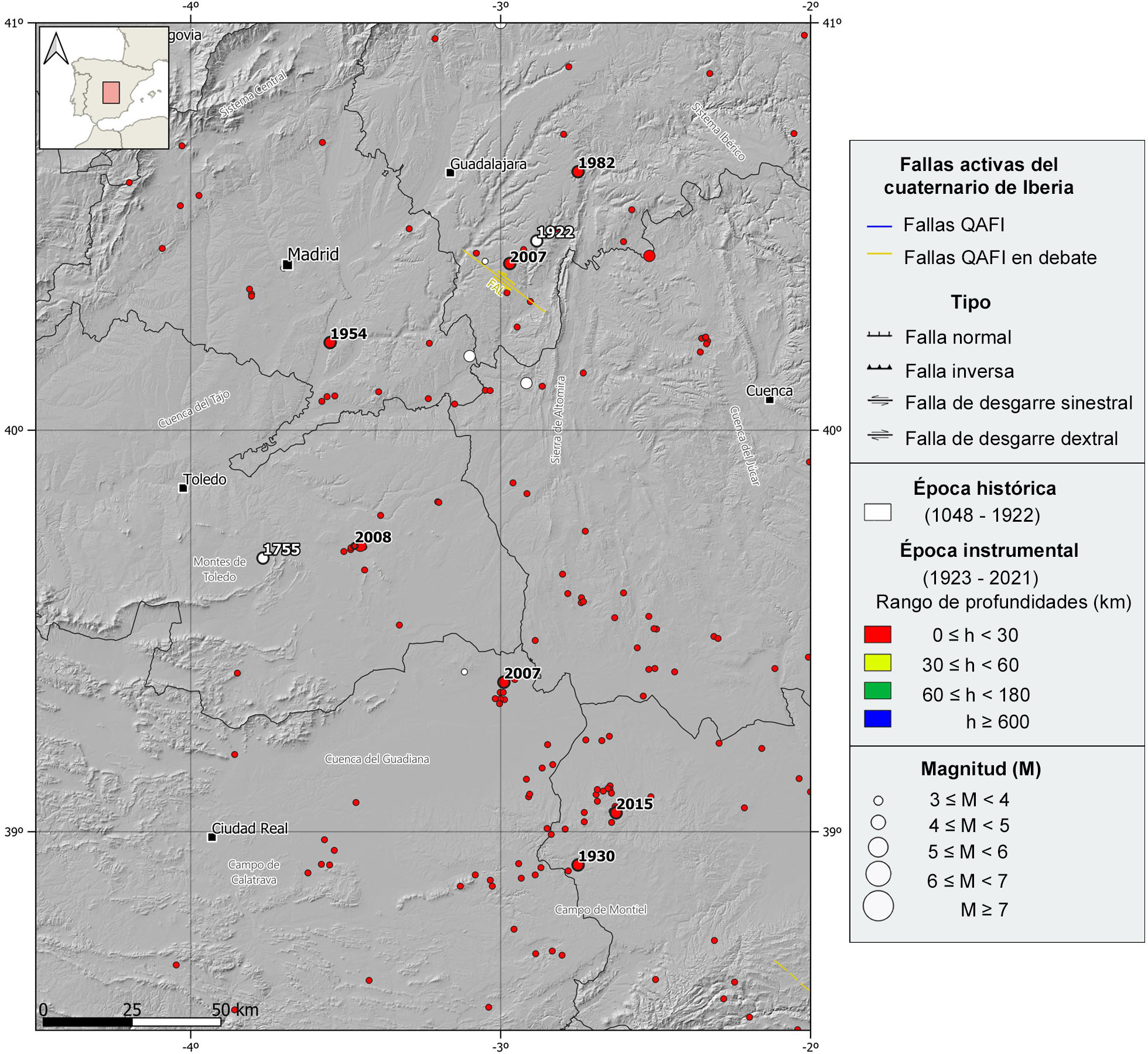
Despite the different tectonic events affecting the region, currently, the tectonic regime is very calm, and because of it, it is very scarce the presence of relevant and documented active faults. To the south of Guadalajara, it is worth mentioning the NW-SE left-lateral strike-slip with normal component fault of Albalate (FAL, on debate).
| © Instituto Geográfico Nacional - C/ General Ibáñez de Ibero, 3. 28003 Madrid - España.
sismologia@transportes.gob.es |


