

Shakemaps
Maps of ground motion generated by the passage of seismic waves from the earthquake More info
| Event | Date | UTC time | Local time (*) | Latitude | Longitude | Depth (km) | Magnitude | Mag. type | Max. Int. | Region |
|---|---|---|---|---|---|---|---|---|---|---|
| es2026noren | 12/07/2026 | 23:33:14 | 00:33:14 | 28.6609 | -14.3161 | 15.0 | 3.2 | mbLg | ATLÁNTICO-CANARIAS |
☆ Epicentro
© Instituto Geográfico Nacional
Ver en pantalla completa
*Spanish official Iberian Peninsula local time for earthquakes located between 20ºW and 6ºE longitude, and 32ºN and 45ºN latitude.
Spanish official Canary Island local time for earthquakes located between 19ºW and 13ºW longitude, and 27ºN and 30ºN latitude.
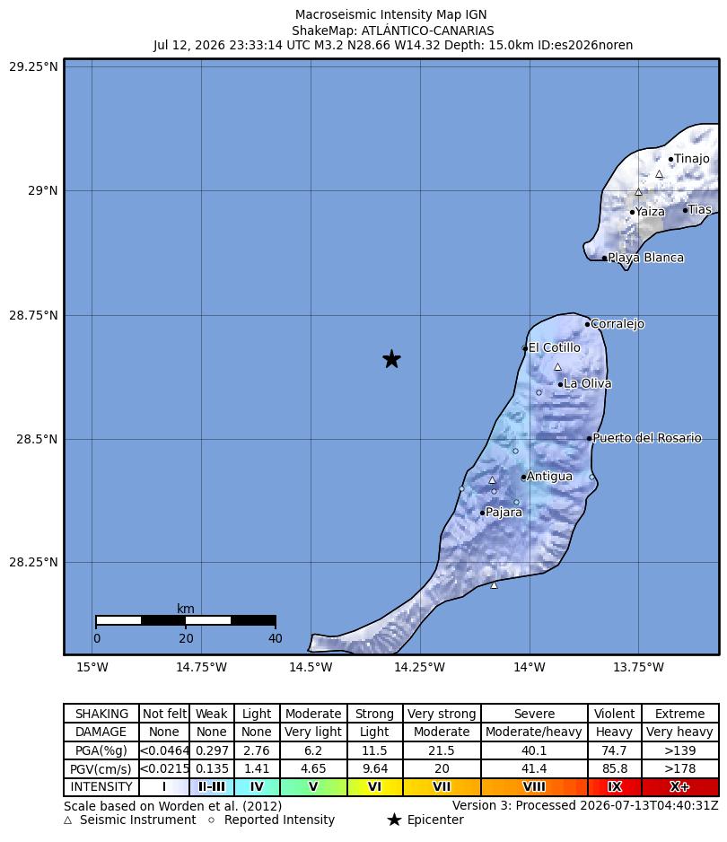 Cartography generated by ShakeMap® software (USGS) / Seismic data: IGN and other seismic networks. More info
 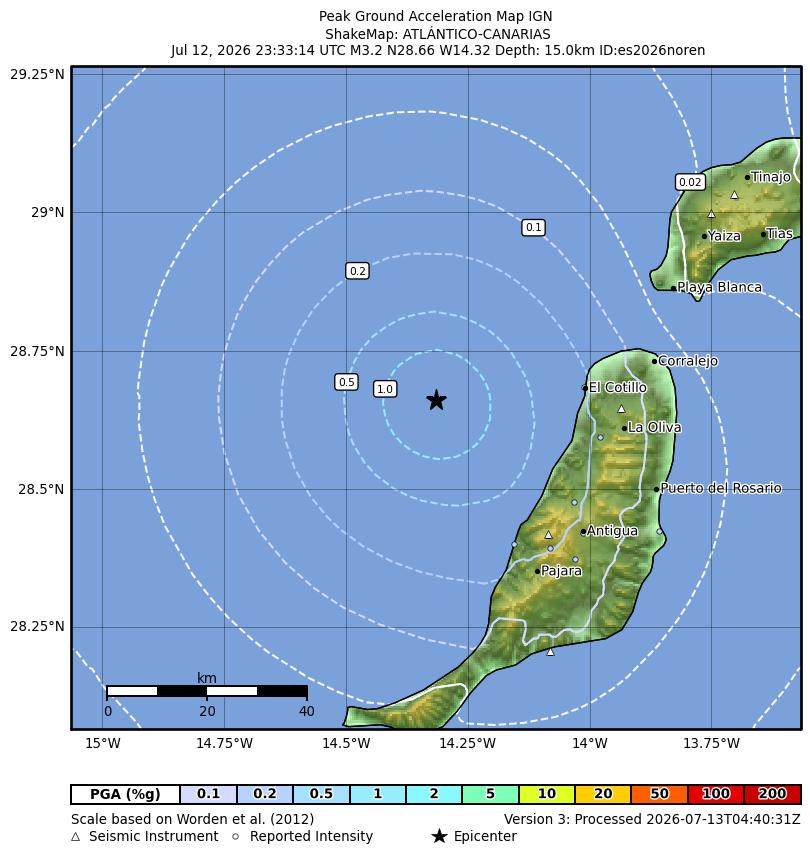 Cartography generated by ShakeMap® software (USGS) / Seismic data: IGN and other seismic networks. More info
 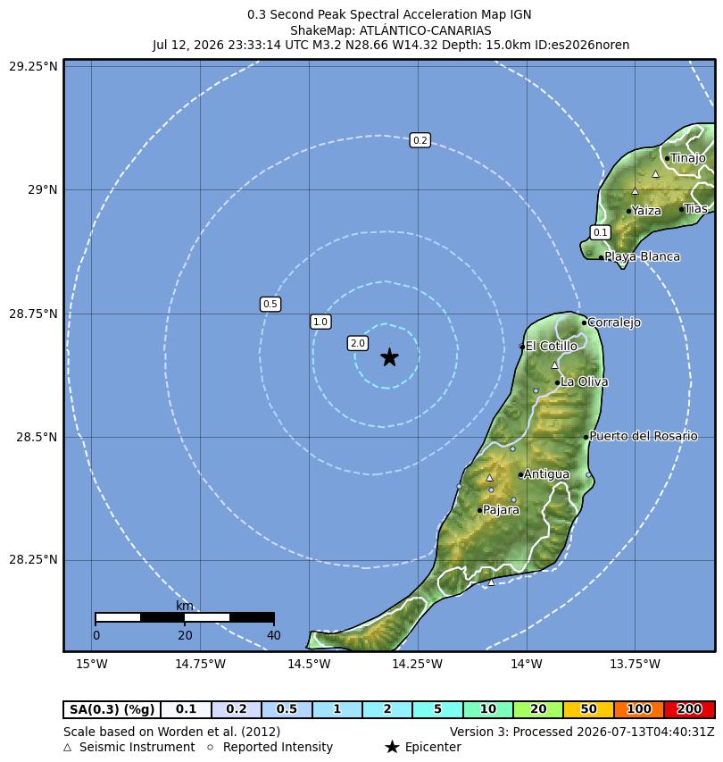 Cartography generated by ShakeMap® software (USGS) / Seismic data: IGN and other seismic networks. More info
 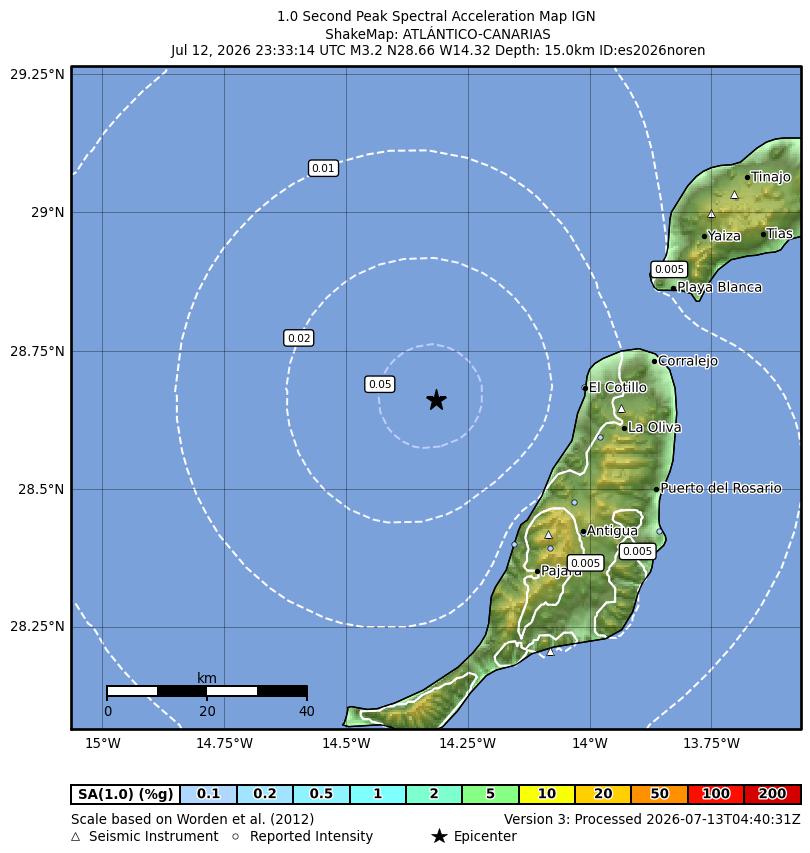 Cartography generated by ShakeMap® software (USGS) / Seismic data: IGN and other seismic networks. More info
 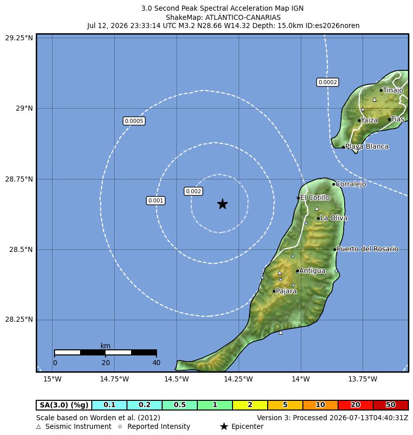 Cartography generated by ShakeMap® software (USGS) / Seismic data: IGN and other seismic networks. More info
 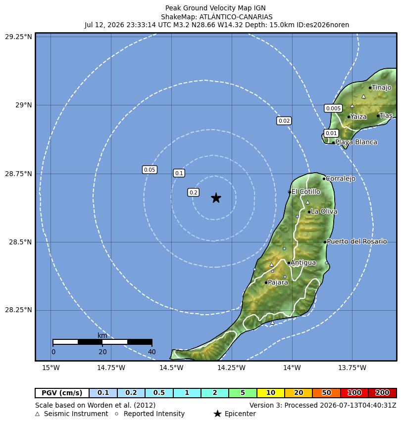 Cartography generated by ShakeMap® software (USGS) / Seismic data: IGN and other seismic networks. More info