Central office in Madrid
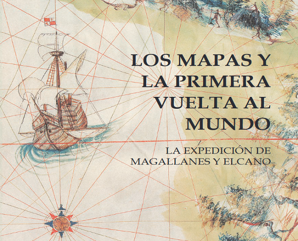
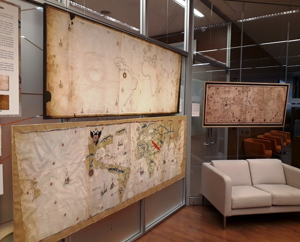
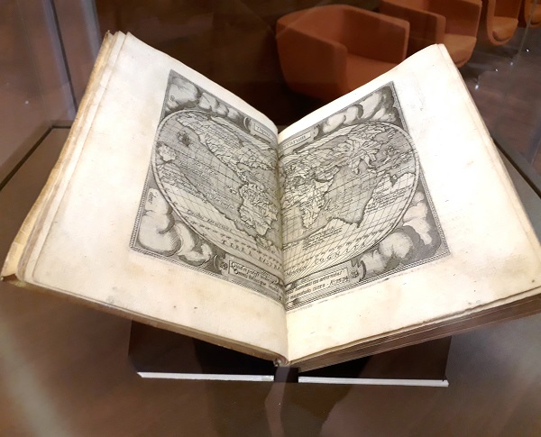
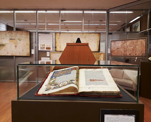
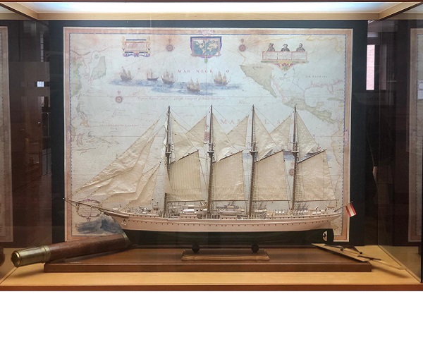
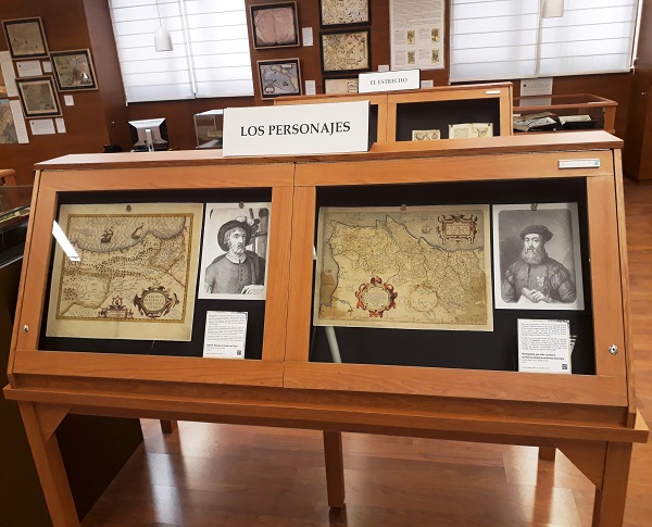
The maps and the first circumnavigation of the World. Magellan and Elcano’s voyage
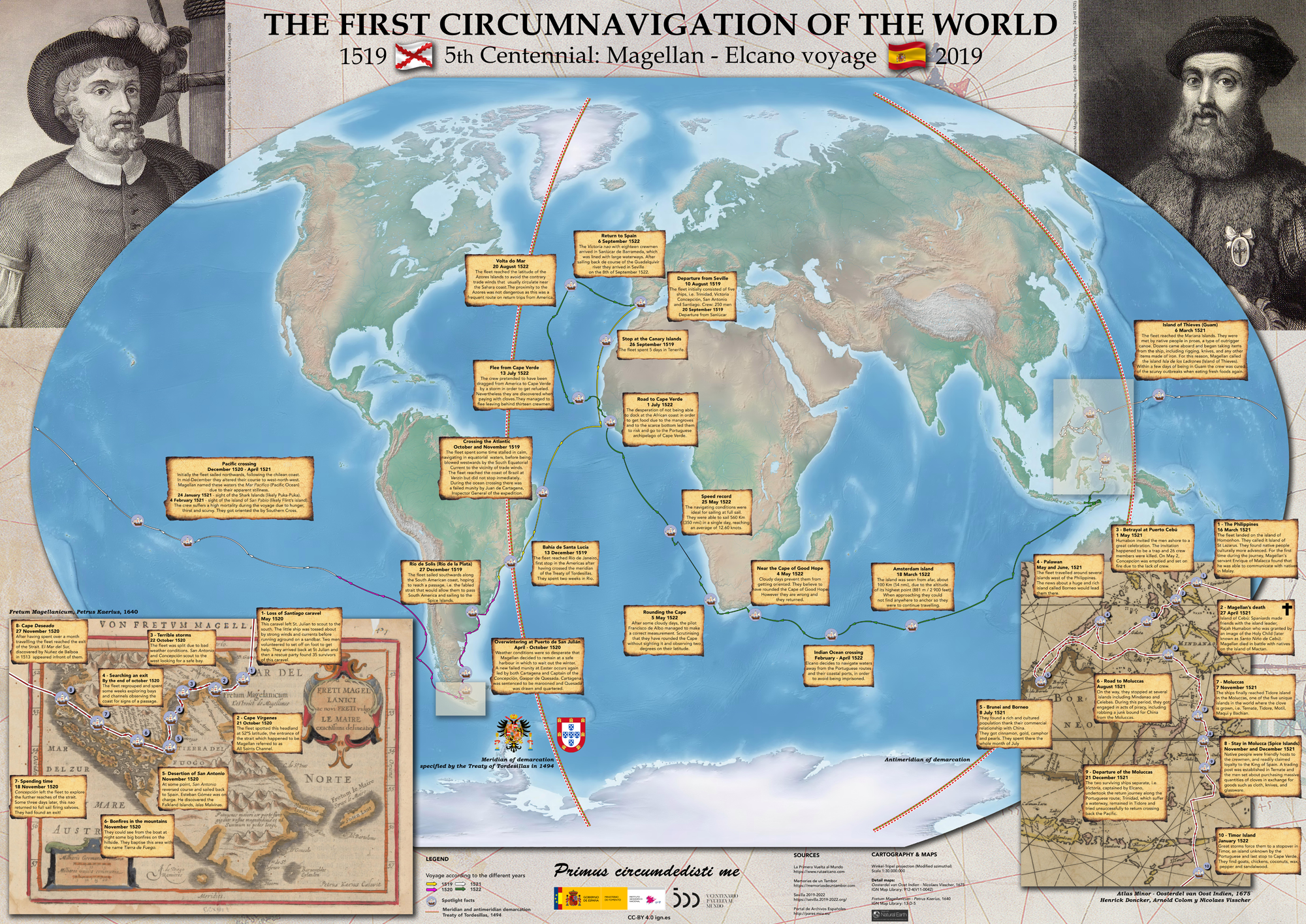
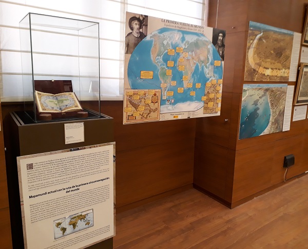
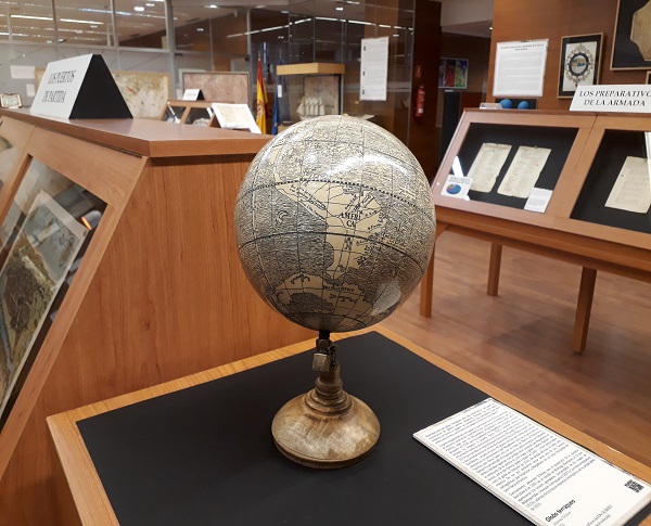
The first circumnavigation of the world started in 1519 and finished three years later, in 1522. It is considered the greatest feat in the history of explorations, and could be compared with the other modern landmarks such as the first Moon landing. This Spanish enterprise was promoted and led by the Portuguese Ferdinand Magellan and commanded back to Spain by the Spaniard Juan Sebastián Elcano, who was the final commander of the nao (ship) Victoria, the only ship that returned.
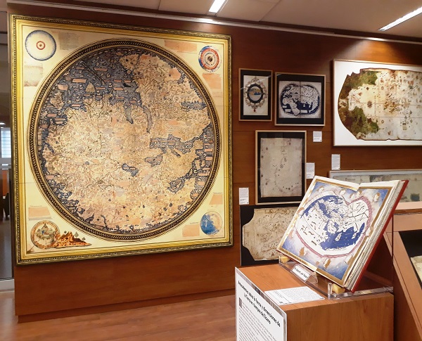
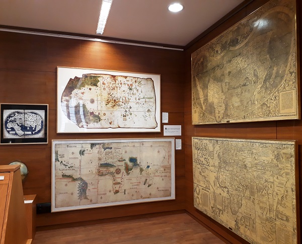
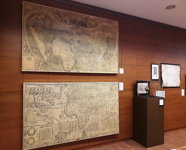
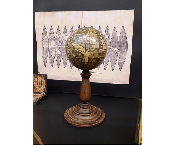
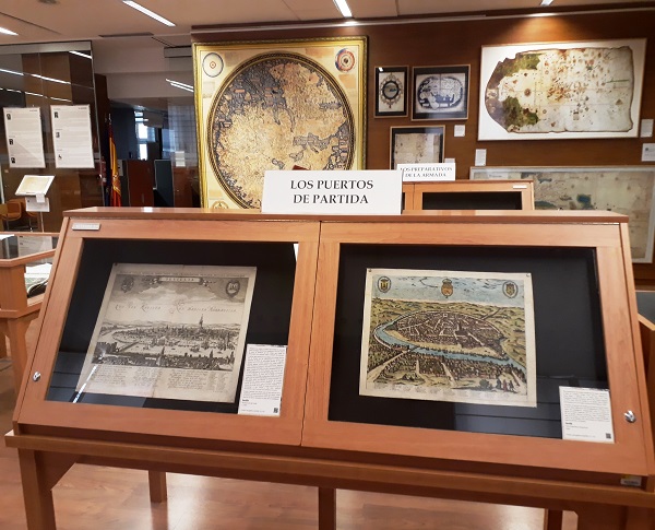
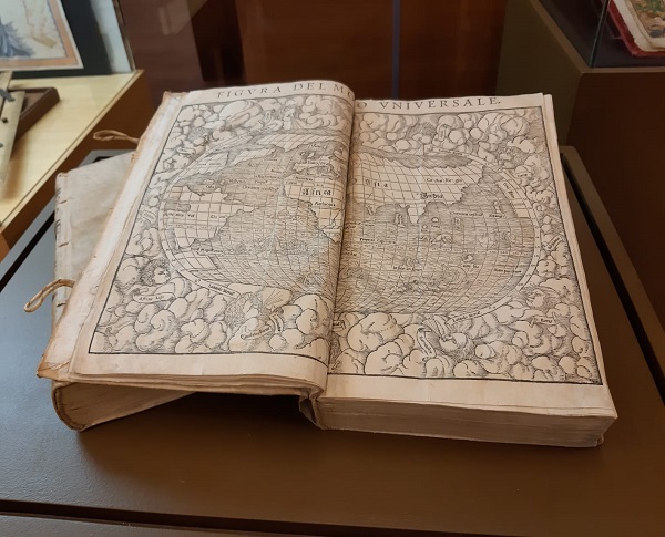
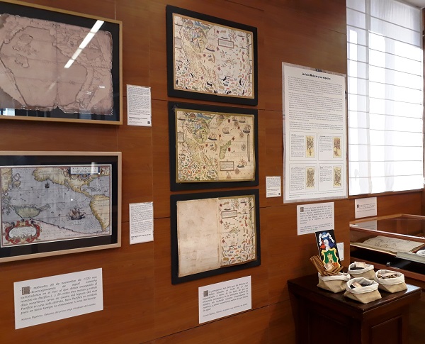
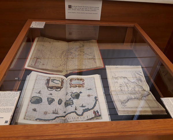
Our exhibition shows the most interesting aspects of the trip in a cartographic route: its background, preparations, development and consequences. Starting from the geographical concepts of the ancients, we will go through the unexpected discovery of the American continent, the Treaty of Tordesillas by which Spain and Portugal divided the world in two, the cartographic espionage between the two Iberian powers, the spice trade as the true objective of the expedition or the first maps of the Strait of Magellan and the Moluccan Islands, everything immersed in the atmosphere of the 16th century.
More Information
Venue
Instituto Geográfico Nacional (Entrance Casa del Mapa)
C/ General Ibáñez de Ibero, 3. 28003 – Madrid
Metro station: Guzmán el Bueno
Price: Free admission
Visits
- Unguided tour: 9h-14h from Monday to Friday
- Guided tour: email to documentacionign@fomento.es
Term
From April 2019 to December 2019
Documents to download
Panel in our exhibition showing the route of the first circumnavigation: