Statistical atlas of the United States based on the results of the Ninth Census 1870
🗺️ Ámbito geográfico
Estados Unidos
🏷️ Materia
Atlas
⏳ Fecha
1874
✍️ Autor(es)
with contributions from many ominet men of science and several Departments of the Government ; compiled under Authority of Congress by Francis A. Walker, M. A. - Departament of the Interior, Census Office.
Statistical atlas of the United States based on the results of the Ninth Census 1870
$b - Subtítulo
$c - Responsable
with contributions from many ominet men of science and several Departments of the Government ; compiled under Authority of Congress by Francis A. Walker, M. A. - Departament of the Interior, Census Office.
$h - Material
[Material cartográfico]
$n - Nº parte
$p - Nombre parte
$s - Versión
T250 - Mención de responsabilidad
Subcampo
Valor
$a - Edición
$b - Responsable
T255 - Área de datos matemáticos
Subcampo
Valor
$a - Escala
Varias escalas.
$b - Proyección
$c - Coordenadas
(W 130°36'19"-W 62°55'46"/N 51°20'14"-N 20°38'46")
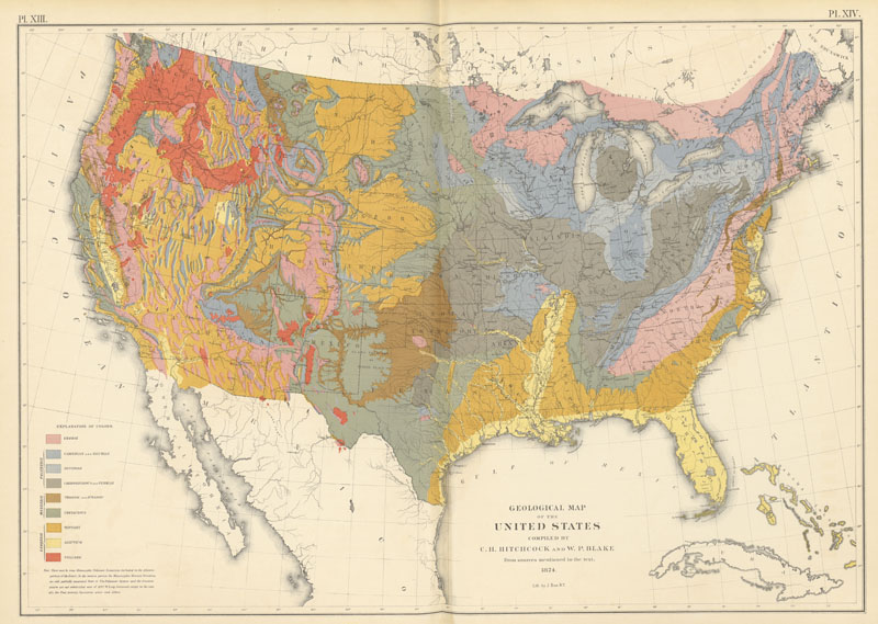
Statistical atlas of the United States based on the results of the Ninth Census 1870 [Material cartográfico] with contributions from many ominet men of science and several Departments of the Government ; compiled under Authority of Congress by Francis A. Walker, M. A. - Departament of the Interior, Census Office. Varias escalas. (W 130°36'19"-W 62°55'46"/N 51°20'14"-N 20°38'46") Julius Bien, [Washington?], 1874
1 atlas (pag. var.): ilustración, color: 56 cm
Ejemplar con manchas.
_#T515#_
🗄️ Signatura 92-31
Autoridades del documento
🎖️ T650
Estadística de población - Estados Unidos - Atlas.
La política de datos determinada por el IGN, establecida en la Orden FOM/2807/2015, establece que el uso de la información de los productos y servicios de datos geográficos definidos en ella, así como sus derivados, conlleva la aceptación implícita por el usuario de las condiciones generales de dicha orden, concretada en la siguiente licencia de uso, compatible con CC-BY 4.0.


